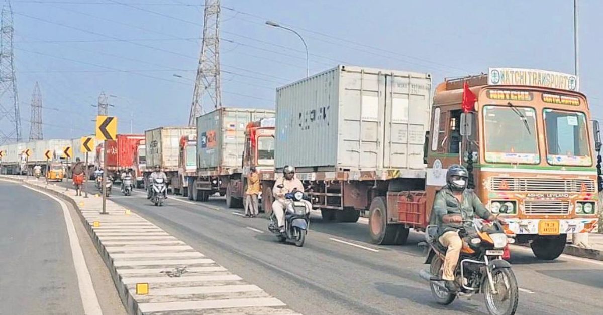
The Chennai Unified Metropolitan Transport Authority (CUMTA), with consultancy Ernst & Young (EY), is developing a new freight movement model for the city that moves away from traditional land-use forecasts and instead adopts a commodity-based approach.
The shift comes after officials found that detailed industrial and commercial land-use data was incomplete. The Chennai Metropolitan Development Authority’s (CMDA) third master plan currently covers only 1,189 sq km within the old metropolitan boundary, leaving large portions of the expanded 5,904 sq km area without mapped land-use details. In these newer zones, only broad “growth area” classifications exist.
Initially, planners had sought to link freight demand to mapped locations of factories, warehouses, and commercial hubs. But with reliable data lacking, CUMTA opted to project demand based on anticipated cargo volumes, types of goods, and trade flows.
Experts note that while land use and transport planning should ideally be integrated, the absence of updated maps has forced CUMTA to work independently of the master plan. They argue that freight forecasts must ultimately be aligned with the CMDA’s third master plan—and that the plan itself needs to cover the full metropolitan area to provide a coherent basis for long-term logistics and infrastructure development.


