




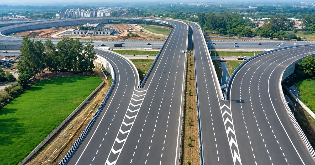

The National Highways Authority of India (NHAI) has issued comprehensive guidelines for the planning and design of high-speed access-controlled national highways, excluding expressways, with a focus on technology integration, smoother tolling, improved drainage and greener infrastructure.
The guidelines seek to bring uniformity in standards for preparation of Detailed Project Reports (DPRs) of high-speed National Highway corridors and bring greater consistency in technical standards, strengthen road safety, and improve operational efficiency across the National Highway network. They will apply to all upcoming four- and six-lane Greenfield and Brownfield high-speed access-controlled national highways, and are aligned with the government’s long-term strategic roadmap, which envisages the development of 50,000 km of access-controlled high-speed corridors under Viksit Bharat 2047, boosting connectivity and reducing logistics costs.
Currently, no separate specifications govern the planning of high-speed access-controlled highways other than expressways, leading to variations in DPR preparation. The new guidelines address this requirement by providing a uniform set of technical and safety provisions.
A key focus of the guidelines is the incorporation of additional safety measures appropriate for high-speed traffic conditions. Special provisions have been prescribed for advance notification of exits and entries, with exits to be marked at 5 km, 2 km, 1 km and 500m ahead, enabling highway users to anticipate and safely navigate upcoming access and egress points. Upcoming access-controlled highways will not have openings in the central median or surface-level intersections, aimed at eliminating conflict points, preventing dangerous cross movements and reducing crash risk on roads where vehicles can travel at speeds of up to 100 kmph. Rather than raised concrete median dividers, the highways will feature flush medians consisting of painted central lanes equipped with thick wire ropes or crash barriers.
Under the new framework, traffic planning will be based on comprehensive assessments of existing and diverted traffic as well as projected growth in freight movement linked to economic and commercial activity, with toll data and other reliable sources used to improve the accuracy of traffic projections. Lane configurations will be determined based on these traffic assessments: corridors carrying 25,000-40,000 vehicles, for instance, will be built as six-lane highways with a 70-metre right of way. Interchanges with ramps will be provided at crossings with expressways, national highways, state highways and arterial roads, as well as near ports, airports, logistics parks, industrial hubs and tourist destinations, with a one-metre-high boundary wall constructed along the outer edge of corridors to prevent unauthorised access and stray cattle entry.
The guidelines also provide for the use of Automated and Intelligent Machine-aided Construction (AI-MC) technology for highway embankments and pavements, in line with applicable Ministry of Road Transport and Highways guidelines, expected to support greater accuracy, consistency and monitoring during construction.
On tolling, the framework provides for a shift towards Multi Lane Free Flow (MLFF) tolling on high-speed corridors, in line with the government’s plans for technology-enabled toll collection, with provisions for implementing MLFF to be incorporated into the planning of relevant projects.
Environmental measures have also been built into the planning stage. Landscaping and plantation will be planned at suitable locations, including loop areas, below flyovers and medians, based on local climate, topography and environmental conditions, with drip irrigation systems provided on highway medians to improve water-use efficiency and facilitate maintenance. The guidelines also make comprehensive drainage planning an integral part of the DPR process, with project planning required to identify rainwater disposal points and arrangements for managing water from the highway and surrounding areas.
 Join our WhatsApp channel for more updates:
 Subscribe to our YouTube channel for more updates: